
Hello all,
Once again, O-Positive (me) is heading out on a long hike ( the Arizona Trail ), and you’re invited to tag along. Without actually having to break a sweat, that is.
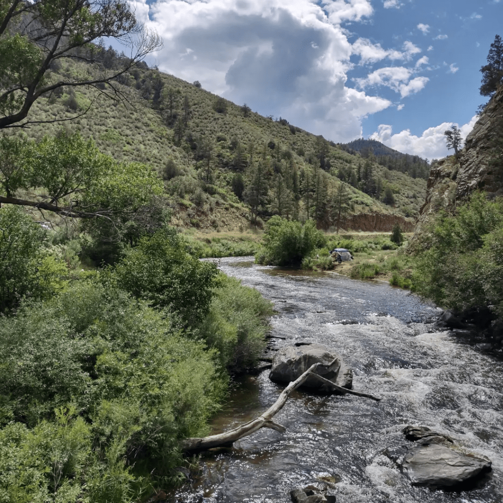
The Arizona Trail ( aztrail.org ) is a National Scenic Trail, stretching 800 miles south to north from the Arizona-Mexico border to the Arizona-Utah border.
I’ll be hiking about 150 miles, starting on February 17 southeast of Tucson at the Zimmerman Trailhead, and finishing in Kearney AZ (east of Phoenix) on March 1. I’ll take 1 or 2 rest days halfway through, off trail in the town of Oracle. The first half will be mostly mountain-ish, with a couple of peaks over 8,000′. The second half will be mostly desert and flat.
The attached map shows the area I’ll be covering, from the Highway 10 symbol in the lower right to Kearney in the upper left. The blue blotches were projected snowfall in the mountains a few weeks ago. I don’t have a better map to post, but there are maps with more and less detail on the website if you’re curious.
My plan is to write daily journal posts (which you’ll get in these emails), with a link to the post and photos on my Instagram account.
You don’t need an Instagram account to view the photos.
The only catch is that I’m not sure what my Internet connection will be from day to day, and I also have to manage my battery charge (and my own energy level! ). So I’ll be writing a daily post, but you might not see it on a daily basis. My plan is to catch up on posts on the rest days.
As always, if you don’t wish to receive these emails, please let me know.
And if you have any questions before or during the hike, please send ’em along. I love to answer them.
Happy trails,
O-Positive
(Jerry C)


Leave a Reply