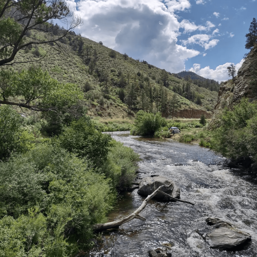

Saturday July 4 – PCT Hike Day 4. Barker Pass Trailhead to Phipps Creek Campsite. Today’s miles – 12.2. Total trip miles – 40.8.
Celebrating the 4th of July and the wisdom of preserving this great wilderness, we got on trail early and walked a lot of it for our longest day yet. Today’s elevation profile was relatively flat, ranging from 7000′ to 8000′, so we were able to zip along quickly, and into the Desolation Wilderness, which was anything but.
How do we know where we’re going? Two sources, primarily (pictured).
1. The Far Out Guides app, a GPS-based crowdsourced app that gives distances between thousands of waypoints, such as water sources, campsites, trail junctions, etc. Users can post useful comments for others, such as water flow, cell signal, trail conditions, etc. Many/most PCT hikers are using Far Out.
2. National Geographic paper maps (PCT specific) that show terrain features in a different way than Far Out, but supplementally useful. And they never lose a battery charge 😉
Oh, plus the occasional sign post, and good instincts.
I love this land.
Opositivehikes.com
https://www.instagram.com/p/Da4LVnelH9u/?igsh=aG44bWRqcmZqNnk3

Share this:
Latest posts





Jerry does a lot of things.
Leave a Reply